Explore by Destination
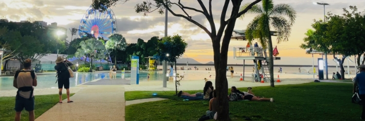
Cairns: Esplanade, Lagoon, markets, dining and city attractions
Port Douglas: Four Mile Beach, dining and relaxed village life
Daintree Rainforest: ancient rainforest, wildlife and Cape Tribulation
Kuranda: rainforest village, Scenic Railway and Skyrail
Palm Cove: tropical beach, swimming and relaxed seaside dining
Atherton Tablelands: waterfalls, crater lakes, wildlife and local produce
Mission Beach: long tropical beaches, rainforest and island adventures
Green Island and Fitzroy Island: Great Barrier Reef island escapes from Cairns
Great Barrier Reef: explore individual reefs and coral cays, reef tours, snorkelling, diving and liveaboard experiences
Local Favourites for October
Each month we choose three local places we would happily send a friend to. No business pays to be chosen.
 BreakfastThe ChambersAll-day brunch in a restored heritage building in the city centre. Open daily.
 CoffeeBarista SistaLinda’s much-loved coffee stall inside Rusty’s Market. Friday to Sunday.
 DinnerOchre RestaurantModern Australian food with native ingredients, on the Harbour Lights boardwalk. Open 7 days.
Run a great local business? Find out how to be featured on CairnsAustralia.
How to Use the Cairns Explorer Map
The Cairns Explorer Map covers ten destinations across Tropical North Queensland: Cairns, Port Douglas, the Daintree Rainforest, Kuranda, Palm Cove, the Atherton Tablelands, Mission Beach, Green Island, Fitzroy Island and the Great Barrier Reef. Tap any destination on the map, or choose it from the list, to open that destination card.
Each destination card opens with two panels: Things to do, listing the attractions, tours and experiences available there, and Where to stay, listing accommodation in that destination. Each card also links through to the full written guide for that destination.
Choose Great Barrier Reef to bring the individual reef sites into view. Twelve named reefs and coral cays are mapped at their own locations: Hastings Reef, Milln Reef, Thetford Reef, Pellowe Reef, Upolu Cay, Vlasoff Cay, Moore Reef, Saxon Reef, Norman Reef, Flynn Reef, Michaelmas Cay and Breaking Patches. Tap a reef marker or its label to open that reef card and read about the reef in detail.
The map works on phones, tablets and desktop computers. Drag to move around, pinch or scroll to zoom in and out, and tap any marker or label to open its card.
Map data: © OpenStreetMap contributors, OpenMapTiles, OpenFreeMap. Reef features: Great Barrier Reef Marine Park Authority (CC BY 4.0). Depth and terrain: Tilezen (Geoscience Australia, SRTM, NOAA). Not for navigation.